tóng-àn:AppalachianLocatorMap2.png
跳至導覽
跳至搜尋
無較權的解析度.
AppalachianLocatorMap2.png (637 × 424 像素,檔案佔量: 84 KB,MIME類型: image/png)
|
|
這是對Wikimedia Commons引來的一份檔案。伊佇hia ê kì-su̍t-ia̍h頂面的資訊顯示對下底. |

Khài-iàu
| Soat-bêng |
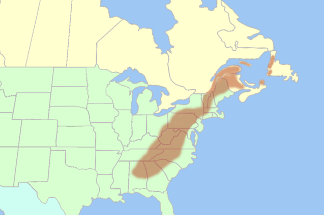
English: Inaccurate map of the Appalachian Mountains shown in the Eastern United States and Eastern Canada. |
| Ji̍t-kî | 2007年9-goe̍h12日 (原始上傳日期) |
| Chhut-chhù | Transferred from en.wikipedia to Commons. |
| Chok-chiá | 英文Wikipedia的Lanma726 |
Siū-khoân
| 此作品已由其作者,英文Wikipedia的Lanma726,釋出至公有領域。此授權條款在全世界均適用。 這可能在某些國家不合法,如果是的話: Lanma726授予任何人有權利使用此作品於任何用途,除受法律約束外,不受任何限制。 |
Siū-khoân
| 我,此作品的版權所有人,釋出此作品至公共領域。此授權條款在全世界均適用。 這可能在某些國家不合法,如果是的話: 我授予任何人有權利使用此作品於任何用途,除受法律約束外,不受任何限制。 |
| Annotations | This image is annotated: View the annotations at Commons |
檔案歷史
揤日期/時間,看彼時陣的檔案.
| 日期/ 時間 | 細張圖 | 寸尺 | 用者 | 註解 | |
|---|---|---|---|---|---|
| 現在 | 2017年8月25日 (拜5) 05:03 | | 637 × 424(84 KB) | YanikB | Add locations of mountains part of Appalachians. |
影像連結
以下的頁連到這个影像: