tóng-àn:Beaufortzee.PNG
跳至導覽
跳至搜尋
無較權的解析度.
Beaufortzee.PNG (747 × 492 像素,檔案佔量: 16 KB,MIME類型: image/png)
|
|
這是對Wikimedia Commons引來的一份檔案。伊佇hia ê kì-su̍t-ia̍h頂面的資訊顯示對下底. |
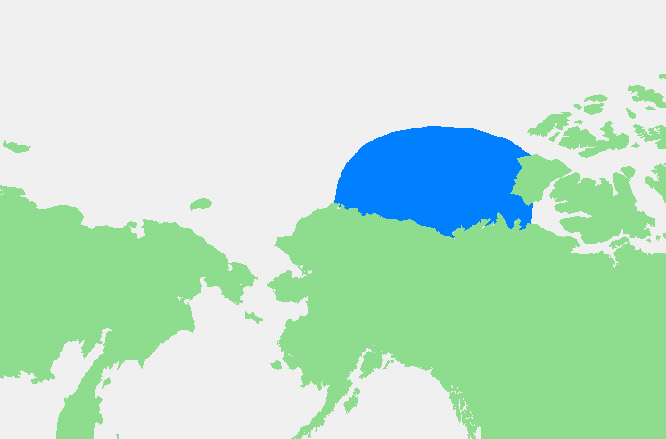
| Soat-bêng | Beaufortzee / Beaufort Sea | ||||
| Chhut-chhù | Ka-tī chò--ê | ||||
| Chok-chiá | edited by M.Minderhoud | ||||
| 授權允准 (Bô siŏh-huòi sāi ciā ùng-giông) |
|
檔案歷史
揤日期/時間,看彼時陣的檔案.
| 日期/ 時間 | 細張圖 | 寸尺 | 用者 | 註解 | |
|---|---|---|---|---|---|
| 現在 | 2006年11月4日 (拜6) 03:13 | | 747 × 492(16 KB) | Michiel1972 | {{Information |Description= {{subst:PAGENAME}} |Source= |Date= |Author= edited by M.Minderhoud |Permission= {{PD-Demis}} |other_versions= }} Category:Locator maps of seas |
影像連結
以下的頁連到這个影像: