這是一份對Wikimedia Commons引來的檔案

tóng-àn:Blank US Map (states only).svg

Lohankhapedia (自由的百科全書) 欲共你講..。
跳至導覽 跳至搜尋
全解析度(SVG ùng-giông, chék-cháung: 959 × 593 chuông-só, ùng-giông duâi-nâung:57 KB)
該圖像需要長期保持更新。如果有需要請更新該圖像。

Khài-iàu

Soat-bêng
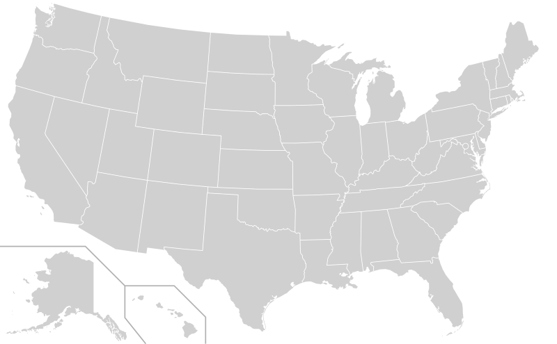
English: A blank map of the United States, not including territories such as Puerto Rico and Guam. Uses the Albers projection. All paths of the states in the file have been assigned an ID consisting of their standard two-letter abbreviations in order to enable easy editing using a text editor. Relative scales and omitted islands are described in comments in the file.
Español: Mapa en blanco de los Estados Unidos en formato de vector escalable.
Ji̍t-kî
Chhut-chhù Derived from File:Blank USA, w territories.svg
Chok-chiá Heitordp
其他版本

Improved versions of this file:

Other blank US maps:

SVG開發
InfoField
 
SVG檔案的原始碼通過W3C驗證
 
这个文件 is saved in human-editable plain text format. Any editing of the image or creation of any derivative work should be performed using a text editor. Please do not upload edits saved or exported with Inkscape or similar vector graphics editors, as well as with automated tools such as SVG Translate.

Siū-khoân

Creative Commons CC-Zero 此檔案在創用CC CC0 1.0 通用公有領域貢獻宣告之下分發。
在此宣告之下分發本作品者,已依據各國著作權法,在全世界放棄其對本作品所擁有的著作權及所有相關相似的法律權利,從而將本作品貢獻至公有領域。您可以複製、修改、分發和演示該作品,用於任何商業用途,所有這些都不需要請求授權。

說明

添加單行說明來描述出檔案所代表的內容
Blank SVG map of the United States

在此檔案描寫的項目

描繪內容 繁體中文

創作作者 繁體中文

沒有Wikidata項目的某些值

著作權狀態 繁體中文

有著作權 繁體中文

多媒體型式 繁體中文

image/svg+xml

校驗和 繁體中文

0e0a72b96ed8bf05a133c9dc04650c6ac5e78d88

斷定方法 繁體中文: SHA-1 中文 (已轉換拼寫)

資料大小 繁體中文

58,766 Byte

高度 繁體中文

593 ōe-sò͘

寬度 繁體中文

959 ōe-sò͘

檔案歷史

揤日期/時間,看彼時陣的檔案.

日期/ 時間細張圖寸尺用者註解
現在2020年12月23日 (拜3) 05:542020年12月23日 (拜3) 05:54版本的細圖959 × 593(57 KB)Jamesy0627144edit title, remove word "territories" from comments

無半頁連到這張影像.

元資料