tóng-àn:Canton downtown, Fourth between Lewis and Clark.jpg
跳至導覽
跳至搜尋

先看佔量: 800 × 532 像素. 其他的 kái-sek-tō͘: 320 × 213 像素 | 640 × 426 像素 | 1,024 × 681 像素 | 1,280 × 851 像素 | 2,560 × 1,702 像素 | 6,016 × 4,000 像素.
全解析度 (6,016 × 4,000 像素,檔案佔量: 6.25 MB,MIME類型: image/jpeg)
|
|
這是對Wikimedia Commons引來的一份檔案。伊佇hia ê kì-su̍t-ia̍h頂面的資訊顯示對下底. |
| 拍攝地點 | | 位於此地的本圖片與其他圖片: OpenStreetMap |
|---|
| Soat-bêng |
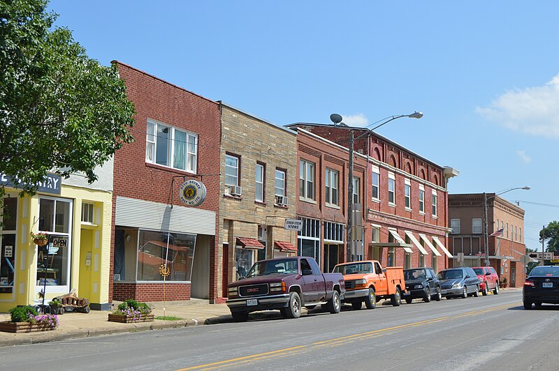
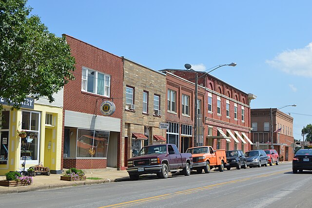
English: Buildings on the eastern side of Fourth Street (formerly U.S. Route 61) between Lewis and Clark Streets in downtown Canton, Missouri, United States. |
||
| Ji̍t-kî | 攝於2015年7-goe̍h28日 | ||
| Chhut-chhù | Ka-tī chò--ê | ||
| Chok-chiá | Nyttend | ||
| Siū-khuân ún-tsún (Koh iōng tsit-ê tóng-àn) |
|
檔案歷史
揤日期/時間,看彼時陣的檔案.
| 日期/ 時間 | 細張圖 | 寸尺 | 用者 | 註解 | |
|---|---|---|---|---|---|
| 現在 | 2015年8月7日 (拜5) 03:34 | | 6,016 × 4,000(6.25 MB) | wikimediacommons>Nyttend | {{Location|40|7|51|N|91|31|7|W}} {{Information |Description={{en|Buildings on the eastern side of Fourth Street (formerly U.S. Route 61) between Lewis and Clark Streets in downtown {{w|Canton, Missouri|Canton}}, {{w|Missouri}}, {{w|United States}}.}} |... |
影像連結
以下的頁連到這个影像: