tóng-àn:Carlisle aerial westward.jpg
跳至導覽
跳至搜尋

先看佔量: 800 × 600 像素. 其他的 kái-sek-tō͘: 320 × 240 像素 | 640 × 480 像素 | 1,024 × 768 像素 | 1,280 × 960 像素 | 2,272 × 1,704 像素.
全解析度 (2,272 × 1,704 像素,檔案佔量: 1.78 MB,MIME類型: image/jpeg)
|
|
這是對Wikimedia Commons引來的一份檔案。伊佇hia ê kì-su̍t-ia̍h頂面的資訊顯示對下底. |
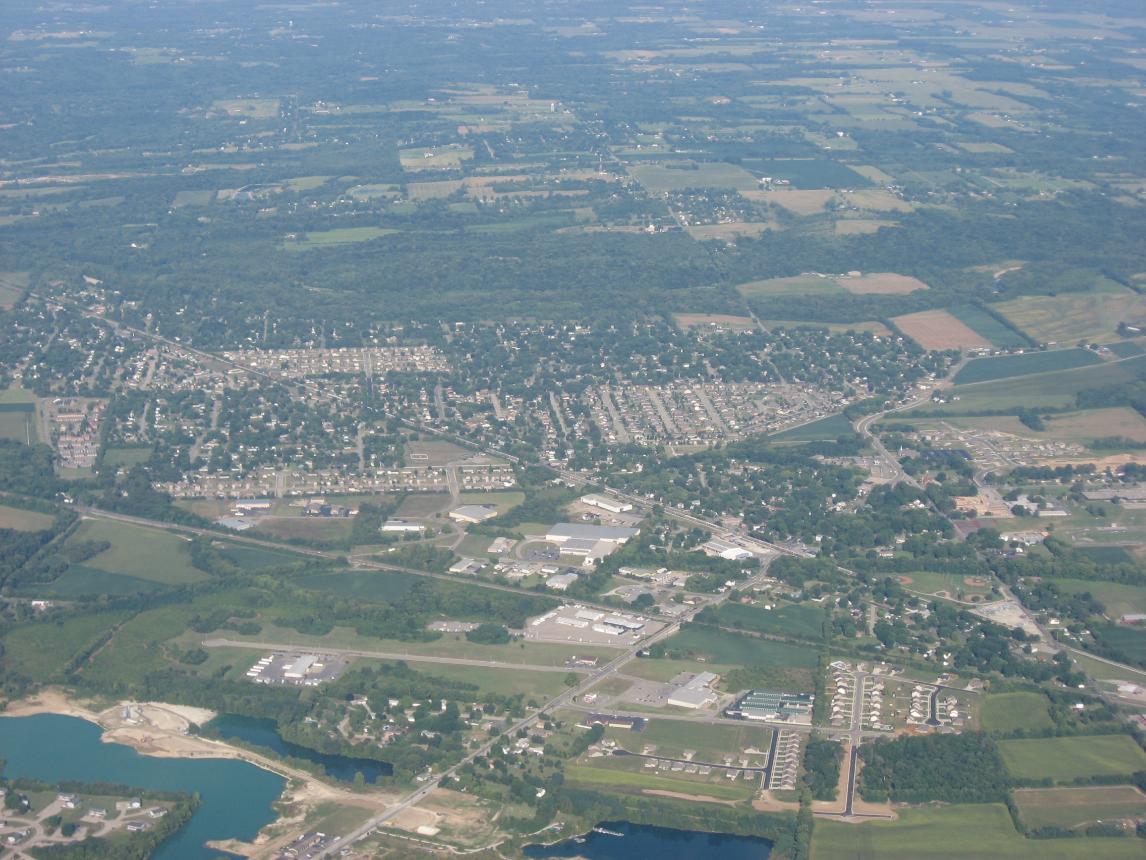
| Soat-bêng | Aerial view of Carlisle, a city split between Montgomery and Warren counties in the southeastern part of the U.S. state of Ohio. Picture taken from a Diamond Eclipse light airplane at an altitude of 4,540 feet MSL and a bearing of approximately 270º. | ||
| Ji̍t-kî | 攝於2008年8-goe̍h12日 | ||
| Chhut-chhù | Ka-tī chò--ê | ||
| Chok-chiá | Nyttend | ||
| 授權允准 (Bô siŏh-huòi sāi ciā ùng-giông) |
|
檔案歷史
揤日期/時間,看彼時陣的檔案.
| 日期/ 時間 | 細張圖 | 寸尺 | 用者 | 註解 | |
|---|---|---|---|---|---|
| 現在 | 2008年9月19日 (拜5) 09:19 | | 2,272 × 1,704(1.78 MB) | Nyttend | {{Information |Description=Aerial view of {{w|Carlisle, Ohio|Carlisle}}, a city split between {{w|Montgomery County, Ohio|Montgomery}} and {{w|Warren County, Ohio|Warren}} counties in the southeastern part of the {{w|U.S. state}} of {{w|Ohio}}. Picture t |
影像連結
以下的頁連到這个影像: