tóng-àn:Chesterhill, Marion at Mill.jpg
跳至導覽
跳至搜尋

先看佔量: 800 × 450 像素. 其他的 kái-sek-tō͘: 320 × 180 像素 | 640 × 360 像素 | 1,024 × 576 像素 | 1,280 × 720 像素 | 2,816 × 1,584 像素.
全解析度 (2,816 × 1,584 像素,檔案佔量: 1.08 MB,MIME類型: image/jpeg)
|
|
這是對Wikimedia Commons引來的一份檔案。伊佇hia ê kì-su̍t-ia̍h頂面的資訊顯示對下底. |
| 拍攝地點 | | 位於此地的本圖片與其他圖片: OpenStreetMap |
|---|
| Soat-bêng |
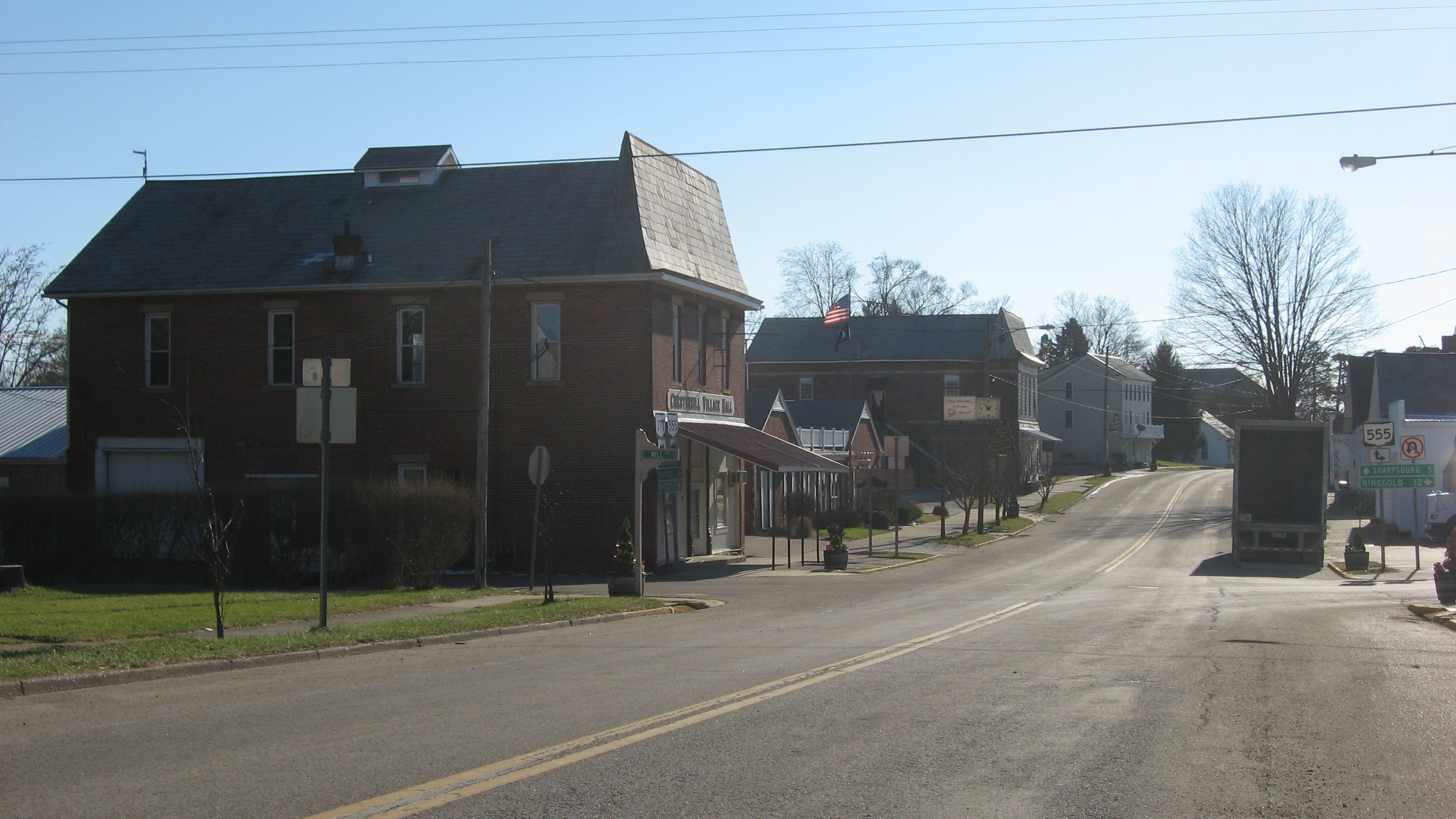
English: Looking southward along Marion Street (State Route 377) at the Mill Street (State Route 555) intersection in Chesterhill, Ohio, United States. Among the buildings visible herein is the village hall, located closest to the camera. |
||
| Ji̍t-kî | 攝於2013年12-goe̍h27日 | ||
| Chhut-chhù | Ka-tī chò--ê | ||
| Chok-chiá | Nyttend | ||
| 授權允准 (Bô siŏh-huòi sāi ciā ùng-giông) |
|
檔案歷史
揤日期/時間,看彼時陣的檔案.
| 日期/ 時間 | 細張圖 | 寸尺 | 用者 | 註解 | |
|---|---|---|---|---|---|
| 現在 | 2013年12月31日 (拜2) 13:11 | | 2,816 × 1,584(1.08 MB) | Nyttend | {{Location|39|29|25|N|81|51|55|W}} {{Information |Description={{en|Looking southward along Marion Street ({{w|Ohio State Route 377|State Route 377}}) at the Mill Street ({{w|Ohio State Route 555|State Route 555}}) intersection in {{w|Chesterhill, Ohio|... |
影像連結
以下的頁連到這个影像: