tóng-àn:Diourbel departments big print.png
跳至導覽
跳至搜尋

先看佔量: 776 × 600 像素. 其他的 kái-sek-tō͘: 311 × 240 像素 | 621 × 480 像素 | 994 × 768 像素 | 1,056 × 816 像素.
全解析度 (1,056 × 816 像素,檔案佔量: 28 KB,MIME類型: image/png)
|
|
這是對Wikimedia Commons引來的一份檔案。伊佇hia ê kì-su̍t-ia̍h頂面的資訊顯示對下底. |
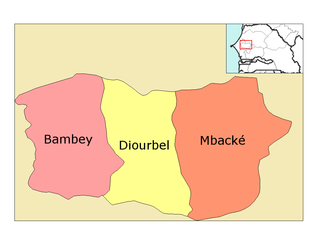
| Soat-bêng | Map of the departments of Diourbel region in Senegal. Created by Rarelibra 22:29, 28 December 2006 (UTC) for public domain use, using MapInfo Professional v8.5 and various mapping resources. |
| Ji̍t-kî | (UTC) |
| Chhut-chhù | |
| Chok-chiá |
|
| 這是一張修飾過的圖片,即本圖片是用軟體修改過後的版本,修改的方式或內容有:Big print for the department names on the map.。原版圖片來源:Diourbel departments.png。修改者:Mr Accountable。
|
我,本作品的著作權持有者,決定用以下授權條款發佈本作品:
| 我,此作品的版權所有人,釋出此作品至公共領域。此授權條款在全世界均適用。 這可能在某些國家不合法,如果是的話: 我授予任何人有權利使用此作品於任何用途,除受法律約束外,不受任何限制。 |
原始上傳日誌
This image is a derivative work of the following images:
- File:Diourbel_departments.png licensed with PD-self
- 2006-12-28T22:29:50Z Rarelibra 1056x816 (16946 Bytes) Map of the departments of Diourbel region in Senegal. Created by [[User:Rarelibra|Rarelibra]] for public domain use, using MapInfo Professional v8.5 and various mapping resources.
Uploaded with derivativeFX
檔案歷史
揤日期/時間,看彼時陣的檔案.
| 日期/ 時間 | 細張圖 | 寸尺 | 用者 | 註解 | |
|---|---|---|---|---|---|
| 現在 | 2009年1月3日 (拜6) 01:02 | | 1,056 × 816(28 KB) | Mr Accountable | {{Information |Description=Map of the departments of Diourbel region in Senegal. Created by Rarelibra 22:29, 28 December 2006 (UTC) for public domain use, using MapInfo Professional v8.5 and various mapping resources. |Source=*[[:File:D |
影像連結
以下的頁連到這个影像: