tóng-àn:Dunkirk New York aerial view.jpg
跳至導覽
跳至搜尋
先看佔量: 800 × 562 像素. 其他的 kái-sek-tō͘: 320 × 225 像素 | 640 × 449 像素 | 1,024 × 719 像素 | 1,280 × 899 像素 | 1,500 × 1,053 像素.
全解析度 (1,500 × 1,053 像素,檔案佔量: 703 KB,MIME類型: image/jpeg)
|
|
這是對Wikimedia Commons引來的一份檔案。伊佇hia ê kì-su̍t-ia̍h頂面的資訊顯示對下底. |
| Soat-bêng |
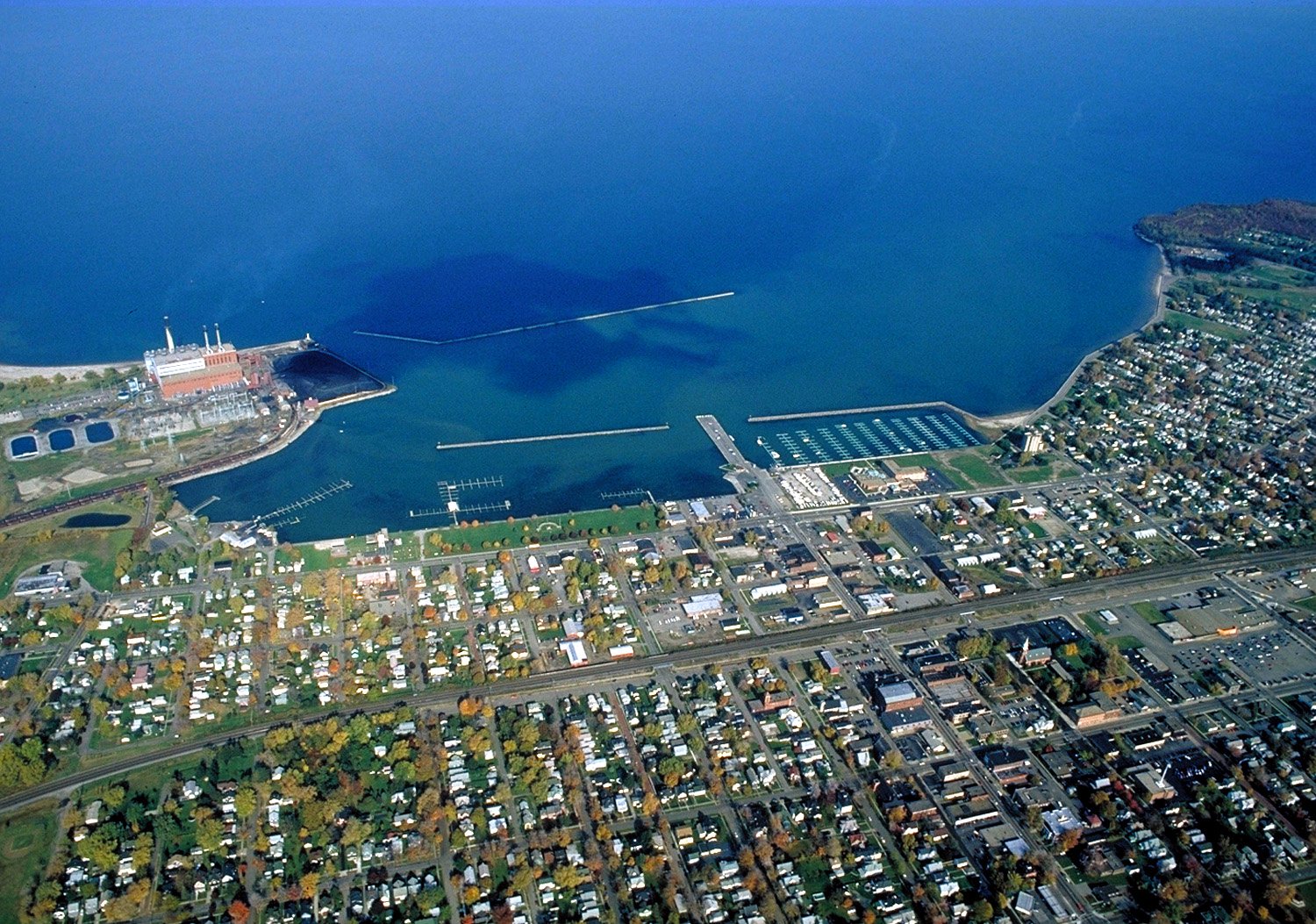
English: Aerial view of Dunkirk, New York, USA. View is to the north over Lake Erie. The large Niagara Mohak power plant can be seen at left. |
|||
| Ji̍t-kî | ||||
| Chhut-chhù |
U.S. Army Corps of Engineers Digital Visual Library Image page Image description page Digital Visual Library home page |
|||
| Chok-chiá | Ken Winters, U.S. Army Corps of Engineers | |||
| Siū-khuân ún-tsún (Koh iōng tsit-ê tóng-àn) |
|
|||
| 圖中地點 | Dunkirk, New York, USA |
| 拍攝地點 | | 位於此地的本圖片與其他圖片: OpenStreetMap |
|---|
檔案歷史
揤日期/時間,看彼時陣的檔案.
| 日期/ 時間 | 細張圖 | 寸尺 | 用者 | 註解 | |
|---|---|---|---|---|---|
| 現在 | 2007年3月31日 (拜6) 06:40 | | 1,500 × 1,053(703 KB) | wikimediacommons>DanMS | {{Information | Description = {{en|Aerial view of Dunkirk, New York, USA. View is to the north over Lake Erie. The large Niagara Mohak power plant can be seen at left.}} | Source = U.S. Army Corps of Engineers Digital Visual Library<br />[http: |
影像連結
以下的頁連到這个影像: