tóng-àn:Gila County Incorporated and Unincorporated areas Winkelman highlighted.svg
跳至導覽
跳至搜尋


此 SVG 檔案的 PNG 預覽的大小:564 × 599 像素。 其他的 kái-sek-tō͘: 226 × 240 像素 | 452 × 480 像素 | 565 × 600 像素 | 723 × 768 像素 | 964 × 1,024 像素 | 800 × 850 像素.
全解析度 (SVG ùng-giông, chék-cháung: 800 × 850 chuông-só, ùng-giông duâi-nâung:96 KB)
|
|
這是對Wikimedia Commons引來的一份檔案。伊佇hia ê kì-su̍t-ia̍h頂面的資訊顯示對下底. |
Khài-iàu
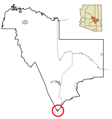
| Soat-bêng | This map shows the incorporated areas and unincorporated areas in Gila County, Arizona. Winkelman is highlighted in red. Incorporated cities are shown in gray and unincorporated communities or CDPs are shown in white. Data for the borders and locations are based on maps from the US Census Bureau TIGER Map Server. I created this map in Inkscape. |
| Ji̍t-kî | |
| Chhut-chhù | My own work, based on public domain information |
| Chok-chiá | Ixnayonthetimmay |
| SVG開發 |
Siū-khoân
| 我,此作品的版權所有人,釋出此作品至公共領域。此授權條款在全世界均適用。 這可能在某些國家不合法,如果是的話: 我授予任何人有權利使用此作品於任何用途,除受法律約束外,不受任何限制。 |
檔案歷史
揤日期/時間,看彼時陣的檔案.
| 日期/ 時間 | 細張圖 | 寸尺 | 用者 | 註解 | |
|---|---|---|---|---|---|
| 現在 | 2007年3月17日 (拜6) 03:18 | | 800 × 850(96 KB) | Ixnayonthetimmay | {{Information |Description=This map shows the incorporated areas and unincorporated areas in Gila County, Arizona. Winkelman is highli |
影像連結
以下的頁連到這个影像: