tóng-àn:Heppner Oregon aerial view.jpg
跳至導覽
跳至搜尋


先看佔量: 800 × 533 像素. 其他的 kái-sek-tō͘: 320 × 213 像素 | 640 × 427 像素 | 1,024 × 683 像素 | 1,500 × 1,000 像素.
全解析度 (1,500 × 1,000 像素,檔案佔量: 537 KB,MIME類型: image/jpeg)
|
|
這是對Wikimedia Commons引來的一份檔案。伊佇hia ê kì-su̍t-ia̍h頂面的資訊顯示對下底. |
| Soat-bêng |
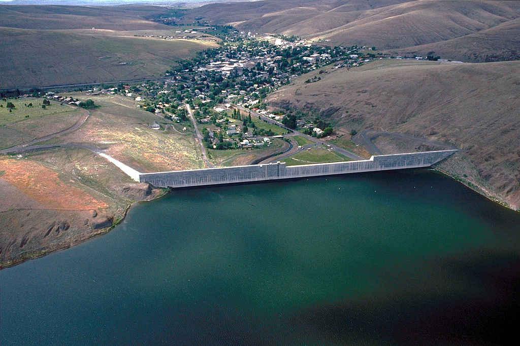
English: Aerial view of Heppner, Oregon. This photograph was taken from above Willow Creek Lake and Dam which are just above the town. |
|||
| 圖中地點 | Heppner, Morrow County, Oregon, USA 45°21′10.33″N 119°33′5.73″W / 45.3528694°N 119.5515917°W |
|||
| Ji̍t-kî | (Caution: Dates provided by U.S. Army Corps of Engineers web pages are not reliable and are often wrong.) | |||
| Chhut-chhù |
U.S. Army Corps of Engineers Digital Visual Library Image page Image description page Digital Visual Library home page |
|||
| Chok-chiá | Bill Johnson, U.S. Army Corps of Engineers | |||
| 授權允准 (Bô siŏh-huòi sāi ciā ùng-giông) |
|
檔案歷史
揤日期/時間,看彼時陣的檔案.
| 日期/ 時間 | 細張圖 | 寸尺 | 用者 | 註解 | |
|---|---|---|---|---|---|
| 現在 | 2013年6月9日 (禮拜) 06:59 | | 1,500 × 1,000(537 KB) | Jaranicolas | Corrección de exposición utilizando curvas de editor de imagen, y edición de color. |
影像連結
以下的頁連到這个影像: