tóng-àn:Locator Map of Utsunomiya in Tochigi Prefecture.png
跳至導覽
跳至搜尋

先看佔量: 666 × 599 像素. 其他的 kái-sek-tō͘: 267 × 240 像素 | 533 × 480 像素 | 667 × 600 像素 | 1,001 × 901 像素.
全解析度 (1,001 × 901 像素,檔案佔量: 34 KB,MIME類型: image/png)
|
|
這是對Wikimedia Commons引來的一份檔案。伊佇hia ê kì-su̍t-ia̍h頂面的資訊顯示對下底. |
Khài-iàu
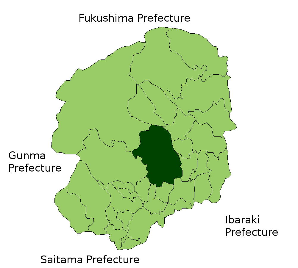
| Soat-bêng | Location Map of Utsunomiya in Tochigi Prefecture, Japan |
| Ji̍t-kî | |
| Chhut-chhù | Image:TochigiMapCurrent.png and rework |
| Chok-chiá | user:alberth2 |
Siū-khoân

|
作为本作品的著作权持有者,Shigenobu AOKI允许任何人以任何目的使用该作品,包括无限制的再分发、商业性使用和修改内容。 |
檔案歷史
揤日期/時間,看彼時陣的檔案.
| 日期/ 時間 | 細張圖 | 寸尺 | 用者 | 註解 | |
|---|---|---|---|---|---|
| 現在 | 2007年6月13日 (拜3) 11:36 | | 1,001 × 901(34 KB) | Alberth2 | == Summary == {{Information |Description=Location Map of Utsunomiya in Tochigi Prefecture, Japan |Source=Image:TochigiMapCurrent.png and rework |Date=Jun. 13th, 2007 |Author=user:alberth2 |Permission=PD |other_versions= }} == Licensing == {{PD-s |
影像連結
以下的頁連到這个影像: