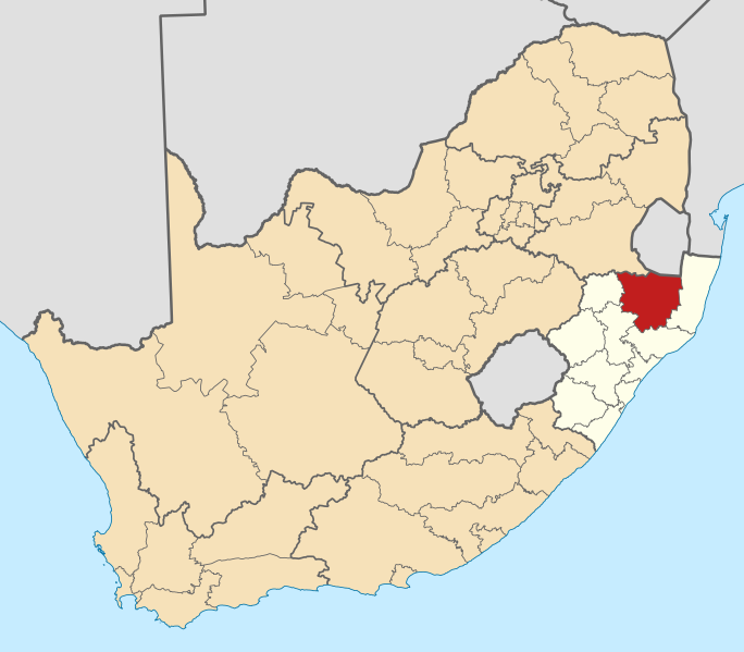
tóng-àn:Map of South Africa with Zululand highlighted (2011).svg
跳至導覽
跳至搜尋

此 SVG 檔案的 PNG 預覽的大小:684 × 599 像素。 其他的 kái-sek-tō͘: 274 × 240 像素 | 548 × 480 像素 | 876 × 768 像素 | 1,168 × 1,024 像素 | 2,337 × 2,048 像素 | 809 × 709 像素.
全解析度 (SVG ùng-giông, chék-cháung: 809 × 709 chuông-só, ùng-giông duâi-nâung:484 KB)
檔案歷史
揤日期/時間,看彼時陣的檔案.
| 日期/ 時間 | 細張圖 | 寸尺 | 用者 | 註解 | |
|---|---|---|---|---|---|
| 現在 | 2011年5月13日 (拜5) 20:02 |  | 809 × 709(484 KB) | wikimediacommons>Htonl | == Summary == {{Information |Description ={{en|1=Map of district boundaries in South Africa, as they will be after the municipal elections of 18 May 2011, with the w:Zululand District Municipality highl |
影像連結
以下的頁連到這个影像:
