tóng-àn:Planaise et Saint-Pierre-de-Soucy.JPG
跳至導覽
跳至搜尋


先看佔量: 800 × 600 像素. 其他的 kái-sek-tō͘: 320 × 240 像素 | 640 × 480 像素 | 1,024 × 768 像素 | 1,280 × 960 像素 | 2,994 × 2,245 像素.
全解析度 (2,994 × 2,245 像素,檔案佔量: 3.04 MB,MIME類型: image/jpeg)
|
|
這是對Wikimedia Commons引來的一份檔案。伊佇hia ê kì-su̍t-ia̍h頂面的資訊顯示對下底. |
Khài-iàu
| Soat-bêng |
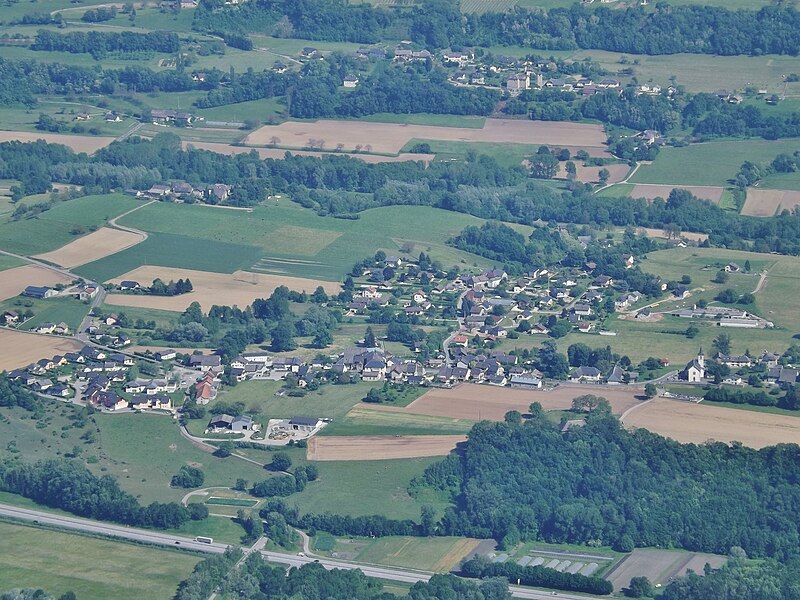
English: Aerian sight, from the Southern side of the Bauges mountains, of the French villages of Planaise and Saint-Pierre-de-Soucy (at the background), in Savoie.
Français : Vue aérienne, depuis le versant sud du massif des Bauges, des villages de Planaise et de Saint-Pierre-de-Soucy (en arrière-plan), en Savoie. |
| Ji̍t-kî | |
| Chhut-chhù | Ka-tī chò--ê |
| Chok-chiá | Florian Pépellin |
| 授權允准 (Bô siŏh-huòi sāi ciā ùng-giông) |
CC-BY-SA 3.0 |
Siū-khoân
我,本作品的著作權持有者,決定用以下授權條款發佈本作品:
此檔案採用創用CC 姓名標示-相同方式分享 3.0 未在地化版本授權條款。
- 你會使自由:
- 分享 – kho͘-pih, hoat-pò͘ kap thoân-pò͘ pún chok
- 重新修改 – kái-pian pún chok-phín
- Àn i-hā ê tiâu-kiāⁿ
- 標示名姓 – 您必須指名出正確的製作者,和提供授權條款的連結,以及表示是否有對內容上做出變更。您可以用任何合理的方式來行動,但不得以任何方式表明授權條款是對您許可或是由您所使用。
- 仝款方式方享 – Lí nā kái-tōng, piàn-khoán, he̍k-chiá kun-kù pún chok chhòng-chō, lí kaⁿ-taⁿ ē-tàng ēng kap pún chok kâng-khoán he̍k-chiá saⁿ-chhiūⁿ ê hí-khó lâi hoat-pò͘ chò--chhut-lâi ê chok-phín.
| Annotations | This image is annotated: View the annotations at Commons |
檔案歷史
揤日期/時間,看彼時陣的檔案.
| 日期/ 時間 | 細張圖 | 寸尺 | 用者 | 註解 | |
|---|---|---|---|---|---|
| 現在 | 2015年5月23日 (拜6) 23:55 | | 2,994 × 2,245(3.04 MB) | Floflo | {{Information |Description ={{en|1=Aerian sight, from the Southern side of the ''Bauges'' mountains, of the French villages of ''Planaise'' and ''Saint-Pierre-de-Soucy (at the background), in Savoie.}} {{fr|1=Vue aérienne, depuis le... |
影像連結
以下的頁連到這个影像: