tóng-àn:Plattsburgh city border map.gif
跳至導覽
跳至搜尋
無較權的解析度.
Plattsburgh_city_border_map.gif (575 × 425 像素,檔案佔量: 32 KB,MIME類型: image/gif)
|
|
這是對Wikimedia Commons引來的一份檔案。伊佇hia ê kì-su̍t-ia̍h頂面的資訊顯示對下底. |
Khài-iàu
| Soat-bêng |
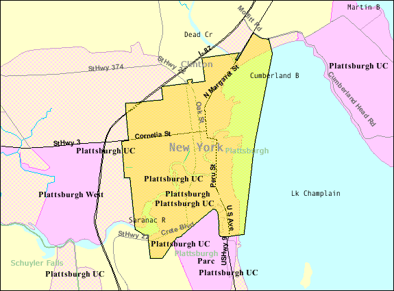
English: Map of Plattsburgh from U.S. Census website. |
| Chhut-chhù | |
| Chok-chiá |
Siū-khoân
This image or file is a work of a United States Census Bureau employee, taken or made as part of that person's official duties. As a work of the U.S. federal government, the image is in the public domain.
|
 |
原始上傳日誌
The original description page was here. All following user names refer to en.wikipedia.
- 2007-11-26 19:24 Fife Club 575×425× (32778 bytes) Map of [[Plattsburgh (city), New York]] from U.S. Census website.
檔案歷史
揤日期/時間,看彼時陣的檔案.
| 日期/ 時間 | 細張圖 | 寸尺 | 用者 | 註解 | |
|---|---|---|---|---|---|
| 現在 | 2013年8月23日 (拜5) 10:19 | | 575 × 425(32 KB) | Dcirovic | {{Information |Description={{en|Map of en:Plattsburgh (city), New York from U.S. Census website.}} |Source=Transferred from [http://en.wikipedia.org en.wikipedia] |Date={{Original upload date|2007-11-26}} |Author=Original uploader was {{user at p... |
影像連結
以下的頁連到這个影像: