tóng-àn:Saskatchewan-map.png
跳至導覽
跳至搜尋
無較權的解析度.
Saskatchewan-map.png (280 × 230 像素,檔案佔量: 15 KB,MIME類型: image/png)
|
|
這是對Wikimedia Commons引來的一份檔案。伊佇hia ê kì-su̍t-ia̍h頂面的資訊顯示對下底. |
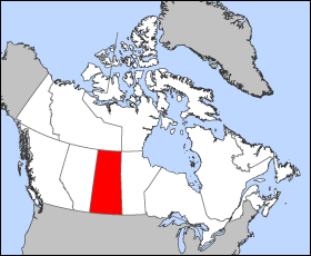
Map of Saskatchewan
Projection: Lambert azimuthal equal-area
Geospatial data from: The Atlas of Canada, The National Atlas of the United States and U.S. Geological Survey
Cartographer: John Fowler
| 我,此作品的版權所有人,釋出此作品至公共領域。此授權條款在全世界均適用。 這可能在某些國家不合法,如果是的話: 我授予任何人有權利使用此作品於任何用途,除受法律約束外,不受任何限制。 |
檔案歷史
揤日期/時間,看彼時陣的檔案.
| 日期/ 時間 | 細張圖 | 寸尺 | 用者 | 註解 | |
|---|---|---|---|---|---|
| 現在 | 2005年3月24日 (拜4) 20:18 | | 280 × 230(15 KB) | Voyager | Map of Saskatchewan Projection: Lambert azimuthal equal-area Geospatial data from: [http://atlas.gc.ca/ The Atlas of Canada], [http://www.nationalatlas.gov/ The National Atlas of the United States] and [http://www.usgs.gov U.S. Geological Survey] Carto |
影像連結
以下的頁連到這个影像: