tóng-àn:Senaga Island 20091027-gsi.jpg
跳至導覽
跳至搜尋


先看佔量: 600 × 600 像素. 其他的 kái-sek-tō͘: 240 × 240 像素 | 480 × 480 像素 | 768 × 768 像素 | 1,024 × 1,024 像素 | 1,500 × 1,500 像素.
全解析度 (1,500 × 1,500 像素,檔案佔量: 357 KB,MIME類型: image/jpeg)
|
|
這是對Wikimedia Commons引來的一份檔案。伊佇hia ê kì-su̍t-ia̍h頂面的資訊顯示對下底. |
Khài-iàu
| Soat-bêng |
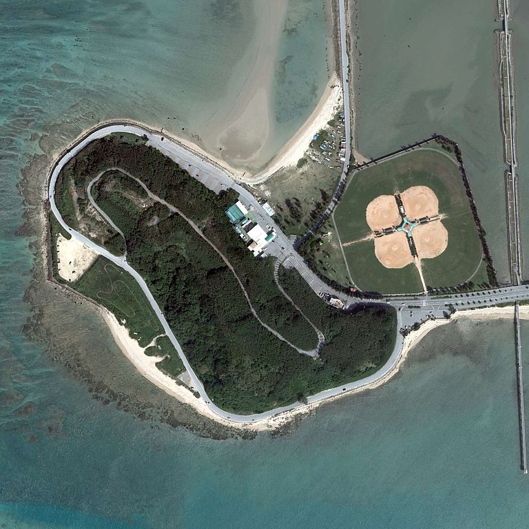
English: Senaga Island, Tomigusuku, Okinawa, Japan.
|
| Ji̍t-kî | |
| Chhut-chhù | http://mapps.gsi.go.jp/contentsImageDisplay.do?specificationId=515682 |
| Chok-chiá |
English: Geospatial Information Authority of Japan
日本語: 国土地理院 |
Siū-khoân

|
本檔案的著作權持有者,Ministry of Land, Infrastructure, Transport and Tourism,在註明所有人姓名的前提下,允許任何人使用本檔案於任何用途。包含再散布、衍生作品、商業用途及其他用途。 |
Biĕu-sê miàng-sáng:
National Land Image Information (Color Aerial Photographs), created by Ministry of Land, Infrastructure, Transport and Tourism, distributed by Geospatial Information Authority of Japan
|

檔案歷史
揤日期/時間,看彼時陣的檔案.
| 日期/ 時間 | 細張圖 | 寸尺 | 用者 | 註解 | |
|---|---|---|---|---|---|
| 現在 | 2015年7月20日 (拜1) 21:05 | | 1,500 × 1,500(357 KB) | Kugel~commonswiki | =={{int:filedesc}}== {{Information |description={{en|1=Senaga Island, Tomigusuku, Okinawa, Japan.}} {{ja|1=瀬長島 国土交通省の地図・空中写真閲覧サービスを元に作成。 *整理番号 COK20091 *撮影年月日 2009年10月27日... |
影像連結
以下的頁連到這个影像: