tóng-àn:Sierra Leone location map.svg
跳至導覽
跳至搜尋

此 SVG 檔案的 PNG 預覽的大小:600 × 600 像素。 其他的 kái-sek-tō͘: 240 × 240 像素 | 480 × 480 像素 | 768 × 768 像素 | 1,024 × 1,024 像素 | 1,607 × 1,607 像素.
全解析度 (SVG ùng-giông, chék-cháung: 1,607 × 1,607 chuông-só, ùng-giông duâi-nâung:244 KB)
|
|
這是對Wikimedia Commons引來的一份檔案。伊佇hia ê kì-su̍t-ia̍h頂面的資訊顯示對下底. |
| Soat-bêng |
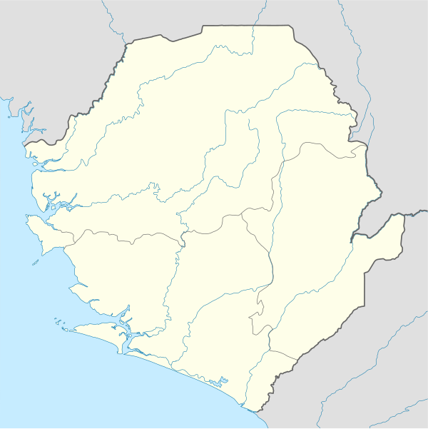
Deutsch: Positionskarte von Sierra Leone
Quadratische Plattkarte. Geographische Begrenzung der Karte:
English: Location map of Sierra Leone
Equirectangular projection. Geographic limits of the map:
|
|||
| Ji̍t-kî | 2008年12-goe̍h10日 (上傳日期) | |||
| Chhut-chhù |
own work, using
|
|||
| Chok-chiá | NordNordWest | |||
| 授權允准 (Bô siŏh-huòi sāi ciā ùng-giông) |
|
|||
| 其他版本 |
此檔案衍生的作品: |


|
|
檔案歷史
揤日期/時間,看彼時陣的檔案.
| 日期/ 時間 | 細張圖 | 寸尺 | 用者 | 註解 | |
|---|---|---|---|---|---|
| 現在 | 2008年12月11日 (拜4) 03:39 | | 1,607 × 1,607(244 KB) | NordNordWest | {{Information |Description= {{de|Positionskarte von Sierra Leone}} Quadratische Plattkarte. Geographische Begrenzung der Karte: * N: 10.2° N * S: 6.8° N * W: 13.5° W * O: 10.1° W {{en|Location map of [[:en:Sierra Leone|Sierra Leon |
影像連結
以下的頁連到這个影像: