這是一份對Wikimedia Commons引來的檔案

tóng-àn:Uganda location map.svg

Lohankhapedia (自由的百科全書) 欲共你講..。
跳至導覽 跳至搜尋
全解析度(SVG ùng-giông, chék-cháung: 1,441 × 1,466 chuông-só, ùng-giông duâi-nâung:431 KB)

Khài-iàu

Soat-bêng
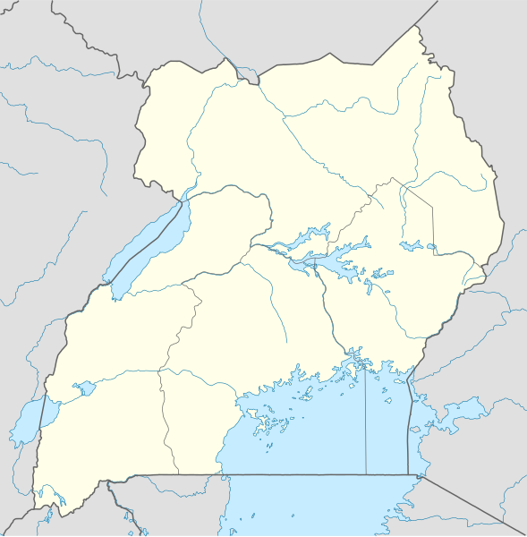
Deutsch: Positionskarte von Uganda

Quadratische Plattkarte. Geographische Begrenzung der Karte:

  • N: 4.5° N
  • S: 1.7° S
  • W: 29.2° O
  • O: 35.3° O
English: Location map of Uganda

Equirectangular projection. Geographic limits of the map:

  • N: 4.5° N
  • S: 1.7° S
  • W: 29.2° E
  • E: 35.3° E
Ji̍t-kî
Chhut-chhù

Ka-tī chò--ê, using

  • United States National Imagery and Mapping Agency data
  • World Data Base II data
Chok-chiá NordNordWest
授權允准
(Bô siŏh-huòi sāi ciā ùng-giông)

I have published this file as author NordNordWest under the "CC-BY-SA-3.0-DE" in Wikipedia. This means that free, commercial usage outside of Wikipedia is permitted under the following licence terms:

Please send me a specimen copy or the URL of the website where the file is used.

Please write an email to nnwest[at]web.de if you

  • need my postal address for sending a specimen copy
  • have further questions about the terms of the licence

PS: In case of refusal of the above terms the author reserves the right to take legal action.

w:zh:創用CC
標示名姓 仝款方式方享
你會使自由:
  • 分享 – kho͘-pih, hoat-pò͘ kap thoân-pò͘ pún chok
  • 重新修改 – kái-pian pún chok-phín
Àn i-hā ê tiâu-kiāⁿ
  • 標示名姓 – 您必須指名出正確的製作者,和提供授權條款的連結,以及表示是否有對內容上做出變更。您可以用任何合理的方式來行動,但不得以任何方式表明授權條款是對您許可或是由您所使用。
  • 仝款方式方享 – Lí nā kái-tōng, piàn-khoán, he̍k-chiá kun-kù pún chok chhòng-chō, lí kaⁿ-taⁿ ē-tàng ēng kap pún chok kâng-khoán he̍k-chiá saⁿ-chhiūⁿ ê hí-khó lâi hoat-pò͘ chò--chhut-lâi ê chok-phín.
其他版本

Derivative works of this file:  Uganda location map Topographic.png

Kartenwerkstatt
本地圖由德文版的地圖實驗室製作或改善。你可以提供地圖進一步改善。

說明

添加單行說明來描述出檔案所代表的內容

在此檔案描寫的項目

描繪內容 繁體中文

創作作者 繁體中文

沒有Wikidata項目的某些值

著作權狀態 繁體中文

有著作權 繁體中文

檔案來源 Chinese (Taiwan) (已轉換拼寫)

檔案歷史

揤日期/時間,看彼時陣的檔案.

日期/ 時間細張圖寸尺用者註解
現在2009年12月2日 (拜3) 03:252009年12月2日 (拜3) 03:25版本的細圖1,441 × 1,466(431 KB)NordNordWest=={{int:filedesc}}== {{Information |Description= {{de|Positionskarte von Uganda}} Quadratische Plattkarte. Geographische Begrenzung der Karte: * N: 4.5° N * S: 1.7° S * W: 29.2° O * O: 35.3° O {{en|Location map of Uganda}

以下的頁連到這个影像: