tóng-àn:Yugoslavia 1956-1990.svg
跳至導覽
跳至搜尋

此 SVG 檔案的 PNG 預覽的大小:450 × 456 像素。 其他的 kái-sek-tō͘: 237 × 240 像素 | 474 × 480 像素 | 758 × 768 像素 | 1,011 × 1,024 像素 | 2,021 × 2,048 像素.
全解析度 (SVG ùng-giông, chék-cháung: 450 × 456 chuông-só, ùng-giông duâi-nâung:475 KB)
|
|
這是對Wikimedia Commons引來的一份檔案。伊佇hia ê kì-su̍t-ia̍h頂面的資訊顯示對下底. |
Khài-iàu


.svg)
.svg)
.svg)
.svg)
.svg)


.svg)
.svg)
.svg)


.png)
.png)


.svg)


.svg)

.svg)


.svg)
.svg)
.svg)
.svg)


.svg)
.png)


.svg)


.svg)
.svg)


.svg)


.svg)


.svg)
.svg)
.svg)
.svg)
.svg)
.svg)
.svg)
_cropped.svg)
.svg)
.svg)
.svg)
.svg)
.svg)
.svg)
.svg)
.svg)
.svg)
.svg)
.svg)
.svg)
.svg)
.svg)
.svg)
.svg)
.svg)
.svg)
.svg)
.svg)
.svg)
.svg)
.svg)
.svg)
.svg)
.svg)
.svg)
.svg)
.svg)
.svg)
.svg)
.svg)
.svg)
.svg)
.svg)
.svg)
.svg)
.svg)
.svg)
.svg)
.svg)
.svg)
.svg)
.svg)
.svg)
| 這是一張修飾過的圖片,即本圖片是用軟體修改過後的版本。原版圖片來源:Blank map of Europe 1956-1990.svg。
|
Siū-khoân
我,本作品的著作權持有者,決定用以下授權條款發佈本作品:
Tsit-ê tóng-àn sī iōng Tshòng-iōng CC Kâng-khuán hong-sik hun-hióng 3.0 bī tsāi-tuē pán-pún siū-khuân tiâu-khuán.
- Lí ē-sái tsū-iû:
- hun-hióng – kho͘-pih, hoat-pò͘ kap thoân-pò͘ pún chok
- tiông-sin siu-kái – kái-pian pún chok-phín
- Àn i-hā ê tiâu-kiāⁿ
- Piau-sī miâ-sìnn – Lí ài siá-bîng tsìng-khak ê miâ-hō, ū siū-khuân tiâu-khuán ê liân-kiat, iáu-koh-ū lí tsuè siánn-mih ê kái-piàn. Lí ē-tàng tī jīm-hô ha̍p-lí ê hong-sik tsìn-hîng, m̄-kò buē-tàng ti̍t-tsiap kóng siū-khuân hōo lí ia̍h-sī lí sú-iōng.
- Kâng-khuán hong-sik hun-hióng – Lí nā kái-tōng, piàn-khoán, he̍k-chiá kun-kù pún chok chhòng-chō, lí kaⁿ-taⁿ ē-tàng ēng kap pún chok kâng-khoán he̍k-chiá saⁿ-chhiūⁿ ê hí-khó lâi hoat-pò͘ chò--chhut-lâi ê chok-phín.
原始上傳日誌
This image is a derivative work of the following images:
- File:Blank_map_of_Europe_1956-1990.svg licensed with Cc-by-sa-3.0
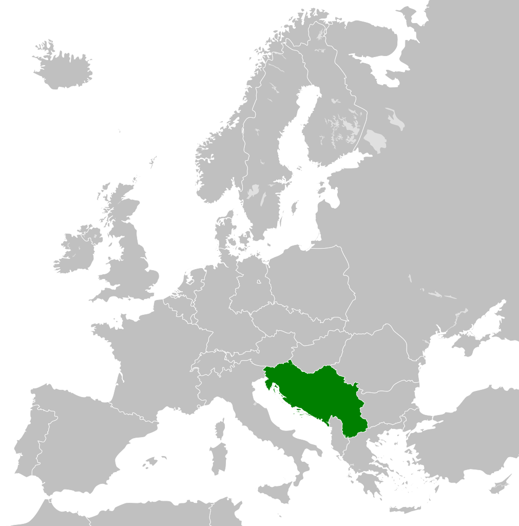
- 2011-10-30T04:43:42Z Alphathon 450x456 (485146 Bytes) == {{int:filedesc}} == {{Information |Description={{en|Blank map of Europe showing national borders as they stood from 1956-1990.}} |Source=*[[:File:Blank_map_of_Europe.svg|]] |Date=2011-10-30 04:42 (UTC) |Author=*[[:File:Bla
| Annotations | This image is annotated: View the annotations at Commons |
檔案歷史
揤日期/時間,看彼時陣的檔案.
| 日期/ 時間 | 細張圖 | 寸尺 | 用者 | 註解 | |
|---|---|---|---|---|---|
| 現在 | 2011年11月26日 (拜6) 01:00 | | 450 × 456(475 KB) | wikimediacommons>StalwartUK | == {{int:filedesc}} == {{Information |Description={{en|Map of Socialist Federal Republic of Yugoslavia as it was from 1945-1992. Surrounding countries accurate from 1956-1990.}} |Source=*[[:File:Blank_map_o |
影像連結
以下的頁連到這个影像: