tóng-àn:Fons-sur-Lussan - aerial view-0186.jpg
全解析度 (5,464 × 3,640 像素,檔案佔量: 18.33 MB,MIME類型: image/jpeg)
|
|
這是對Wikimedia Commons引來的一份檔案。伊佇hia ê kì-su̍t-ia̍h頂面的資訊顯示對下底. |
Khài-iàu
| Soat-bêng |
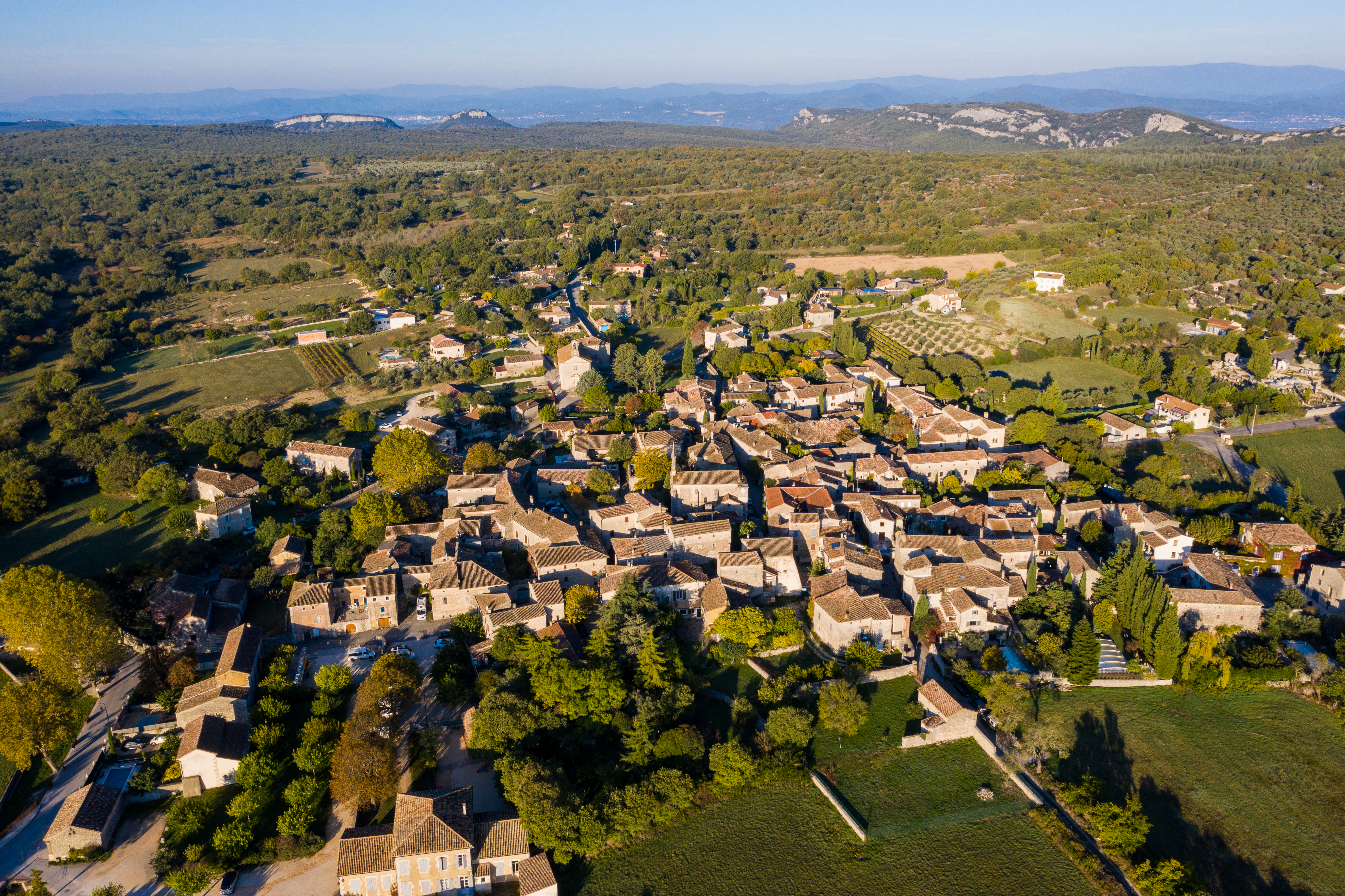
English: Fons-sur-Lussan - aerial view |
|||||||||||||||||
| Ji̍t-kî | ||||||||||||||||||
| Chhut-chhù | Ka-tī chò--ê | |||||||||||||||||
| Chok-chiá |
|
|||||||||||||||||

| 拍攝地點 | | 位於此地的本圖片與其他圖片: OpenStreetMap |
|---|
We have published this image as author under the Creative-Commons-Licence CC BY-SA 4.0.. This means that free usage outside of Wikimedia projects under the following terms of licence is possible:
- 1.1 The image is credited with "© Raimond Spekking / CC BY-SA 4.0 (via Wikimedia Commons)"
- If this is not possible due to shortage of space, please contact us first.
- 1.2 If possible a weblink to the original image would be great: https://commons.wikimedia.org/wiki/File:Fons-sur-Lussan_-_aerial_view-0186.jpg
We would be happy to receive a specimen copy or the URL of the website where the image is used.
Please write an email to raimond.spekking@gmail.com (GPG encrypted emails are welcome: Key-ID: 0xB12BE7A6), if you
- need my postal address for sending a specimen copy
- have further questions to the terms of licence
.JPG) |
This picture has been taken by members of the community project „Lokal K - Drohnenfotografie“. |
Siū-khoân
- Lí ē-sái tsū-iû:
- hun-hióng – kho͘-pih, hoat-pò͘ kap thoân-pò͘ pún chok
- tiông-sin siu-kái – kái-pian pún chok-phín
- Àn i-hā ê tiâu-kiāⁿ
- Piau-sī miâ-sìnn – Lí ài siá-bîng tsìng-khak ê miâ-hō, ū siū-khuân tiâu-khuán ê liân-kiat, iáu-koh-ū lí tsuè siánn-mih ê kái-piàn. Lí ē-tàng tī jīm-hô ha̍p-lí ê hong-sik tsìn-hîng, m̄-kò buē-tàng ti̍t-tsiap kóng siū-khuân hōo lí ia̍h-sī lí sú-iōng.
- Kâng-khuán hong-sik hun-hióng – Lí nā kái-tōng, piàn-khoán, he̍k-chiá kun-kù pún chok chhòng-chō, lí kaⁿ-taⁿ ē-tàng ēng kap pún chok kâng-khoán he̍k-chiá saⁿ-chhiūⁿ ê hí-khó lâi hoat-pò͘ chò--chhut-lâi ê chok-phín.
檔案歷史
揤日期/時間,看彼時陣的檔案.
| 日期/ 時間 | 細張圖 | 寸尺 | 用者 | 註解 | |
|---|---|---|---|---|---|
| 現在 | 2021年10月31日 (禮拜) 08:41 | | 5,464 × 3,640(18.33 MB) | wikimediacommons>Raymond | Uploaded with LrMediaWiki 1.3.0, LR 6.14 Win |
影像連結
以下的頁連到這个影像: