tóng-àn:Kozlovice, kostel.jpg
跳至導覽
跳至搜尋

先看佔量: 800 × 600 像素. 其他的 kái-sek-tō͘: 320 × 240 像素 | 640 × 480 像素 | 1,024 × 768 像素 | 1,280 × 960 像素 | 2,560 × 1,920 像素 | 3,072 × 2,304 像素.
全解析度 (3,072 × 2,304 像素,檔案佔量: 1.04 MB,MIME類型: image/jpeg)
|
|
這是對Wikimedia Commons引來的一份檔案。伊佇hia ê kì-su̍t-ia̍h頂面的資訊顯示對下底. |
|
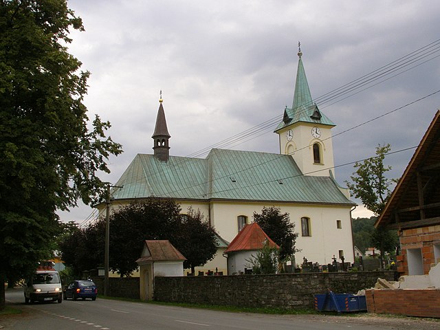
This is a photo of a cultural monument of the Czech Republic,
number: 13147/8-2345. |
| Soat-bêng |
Čeština: Kozlovice, kostel sv. Michaela archanděla |
|||
| Ji̍t-kî | ||||
| Chhut-chhù | Ka-tī chò--ê | |||
| Chok-chiá | Daniel Baránek | |||
| Siū-khuân ún-tsún (Koh iōng tsit-ê tóng-àn) |
Tsit-ê tóng-àn sī iōng Tshòng-iōng CC Kâng-khuán hong-sik hun-hióng 3.0 bī tsāi-tuē pán-pún siū-khuân tiâu-khuán. Piau-sī miâ-sìnn: Daniel Baránek
|
|||
| OpenStreetMap | Way 138998097 |

| 目標地點 | | 位於此地的本圖片與其他圖片: OpenStreetMap |
|---|
| 拍攝地點 | | 位於此地的本圖片與其他圖片: OpenStreetMap |
|---|
檔案歷史
揤日期/時間,看彼時陣的檔案.
| 日期/ 時間 | 細張圖 | 寸尺 | 用者 | 註解 | |
|---|---|---|---|---|---|
| 現在 | 2008年7月16日 (拜3) 22:26 | | 3,072 × 2,304(1.04 MB) | wikimediacommons>Daniel Baránek | {{Information |Description= |Source= |Date= |Author= |Permission= |other_versions= }} {{ImageUpload|basic}} |
影像連結
以下的頁連到這个影像: