tóng-àn:Cape breton island.png
跳至導覽
跳至搜尋
無較權的解析度.
Cape_breton_island.png (514 × 562 像素,檔案佔量: 16 KB,MIME類型: image/png)
|
|
這是對Wikimedia Commons引來的一份檔案。伊佇hia ê kì-su̍t-ia̍h頂面的資訊顯示對下底. |
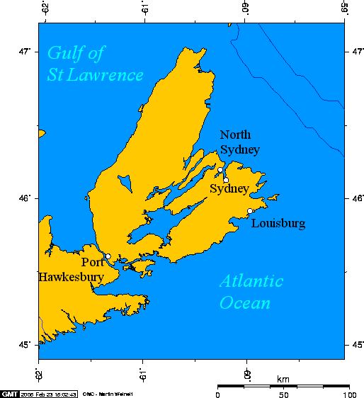
Cape Breton Island, Nova Scotia, Canada

|
已授權您依據自由軟體基金會發行的無固定段落、封面文字和封底文字GNU自由文件授權條款1.2版或任意後續版本,對本檔進行複製、傳播和/或修改。該協議的副本列在GNU自由文件授權條款中。 |
| 此檔案採用創用CC 姓名標示-相同方式分享 3.0 未在地化版本授權條款。 | ||
| ||
| 已新增授權條款標題至此檔案,作為GFDL授權更新的一部份。 |
en:User:Geo Swan used this online map creation tool archive copy at the Wayback Machine to generate this map. en:User:Geo Swan used the following longitude and latitude to the tool to specify the locations of the cities:
- -60.2524,46.2065,North Sydney
- -60.1955,46.1365,Sydney
- -59.9643,45.9235,Louisburg
- -61.3452,45.6119,Port Hawkesbury
Originally uploaded on 23 February 2005.
檔案歷史
揤日期/時間,看彼時陣的檔案.
| 日期/ 時間 | 細張圖 | 寸尺 | 用者 | 註解 | |
|---|---|---|---|---|---|
| 現在 | 2005年6月16日 (拜4) 22:00 | | 514 × 562(16 KB) | Peregrine981 | Cape Breton Island, Nova Scotia, Canada {{GFDL}} en:User:Geo Swan used this [http://www.aquarius.geomar.de/omc/ online map creation tool] to generate this map. en:User:Geo Swan used the following longitude and latitude to the tool to specify t |
影像連結
以下的頁連到這个影像: