tóng-àn:Golfe Saint-Laurent en.png
跳至導覽
跳至搜尋
無較權的解析度.
Golfe_Saint-Laurent_en.png (600 × 555 像素,檔案佔量: 101 KB,MIME類型: image/png)
|
|
這是對Wikimedia Commons引來的一份檔案。伊佇hia ê kì-su̍t-ia̍h頂面的資訊顯示對下底. |
| Soat-bêng | |||||||||
| Ji̍t-kî | |||||||||
| Chhut-chhù | Image:Canada (geolocalisation).svg | ||||||||
| Chok-chiá | Benoit Rochon | ||||||||
| 授權允准 (Bô siŏh-huòi sāi ciā ùng-giông) |
|
||||||||
| 其他版本 |
|

.svg)
檔案歷史
揤日期/時間,看彼時陣的檔案.
| 日期/ 時間 | 細張圖 | 寸尺 | 用者 | 註解 | |
|---|---|---|---|---|---|
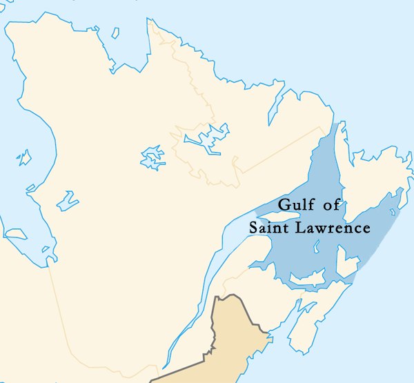
| 現在 | 2015年3月12日 (拜4) 05:35 | | 600 × 555(101 KB) | Palaeozoic99 | Changed outline of the Gulf of St. Lawrence to confirm with the International Hydrographic Organization, which defines the limits of the Gulf of Saint Lawrence as follows: On the Northeast. A line running from Cape Bauld (North point of Kirpon Island,... |
影像連結
以下的頁連到這个影像: