tóng-àn:Locatie Bandazee.PNG
跳至導覽
跳至搜尋
無較權的解析度.
Locatie_Bandazee.PNG (484 × 362 像素,檔案佔量: 13 KB,MIME類型: image/png)
|
|
這是對Wikimedia Commons引來的一份檔案。伊佇hia ê kì-su̍t-ia̍h頂面的資訊顯示對下底. |
Khài-iàu
| Soat-bêng |
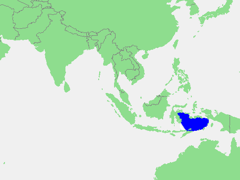
English: Banda Sea
Español: Mar de Banda |
||||
| Chhut-chhù | own work based on PD map | ||||
| Chok-chiá | edited by M.Minderhoud | ||||
| 授權允准 (Bô siŏh-huòi sāi ciā ùng-giông) |
|
檔案歷史
揤日期/時間,看彼時陣的檔案.
| 日期/ 時間 | 細張圖 | 寸尺 | 用者 | 註解 | |
|---|---|---|---|---|---|
| 現在 | 2010年3月6日 (拜6) 16:51 | | 484 × 362(13 KB) | Xufanc | Extended sea towards the west. |
影像連結
以下的頁連到這个影像: