tóng-àn:Map of Argentina Demis.png
跳至導覽
跳至搜尋

先看佔量: 317 × 600 像素. 其他的 kái-sek-tō͘: 127 × 240 像素 | 254 × 480 像素 | 727 × 1,375 像素.
全解析度 (727 × 1,375 像素,檔案佔量: 384 KB,MIME類型: image/png)
|
|
這是對Wikimedia Commons引來的一份檔案。伊佇hia ê kì-su̍t-ia̍h頂面的資訊顯示對下底. |
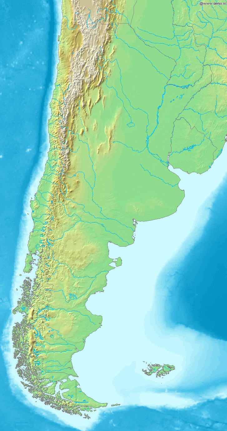
Map of Argentina
Bounding box West -77°, South -57°, East -52°, North -20°. Center at 38°30′00″S 64°30′00″W / 38.50000°S 64.50000°W.
This image is in the public domain because it came from the site https://www.demis.nl/products/web-map-server/examples/ and was released by the copyright holder. Permission is granted to copy, distribute and/or modify this map since it is based on free of copyright images from: www.demis.nl. See also approval email on de.wp and its clarification.
|
| This work has been released into the public domain by its copyright holder, www.demis.nl. This applies worldwide. 這可能在某些國家不合法,如果是的話: www.demis.nl授予任何人有權利使用此作品於任何用途,除受法律約束外,不受任何限制。
|
檔案歷史
揤日期/時間,看彼時陣的檔案.
| 日期/ 時間 | 細張圖 | 寸尺 | 用者 | 註解 | |
|---|---|---|---|---|---|
| 現在 | 2006年12月21日 (拜4) 03:46 | | 727 × 1,375(384 KB) | Mats Halldin~commonswiki | Map of Argentina Bounding box West -77°, South -57°, East -52°, North -20°. Center at {{coor d|38.50000|S|64.50000|W|scale:22200000}}. {{demis-pd}} category:maps of Argentina |
影像連結
以下的頁連到這个影像: